Real-time Data:
Okanagan Flood Story – Discover, Explore, Prepare:
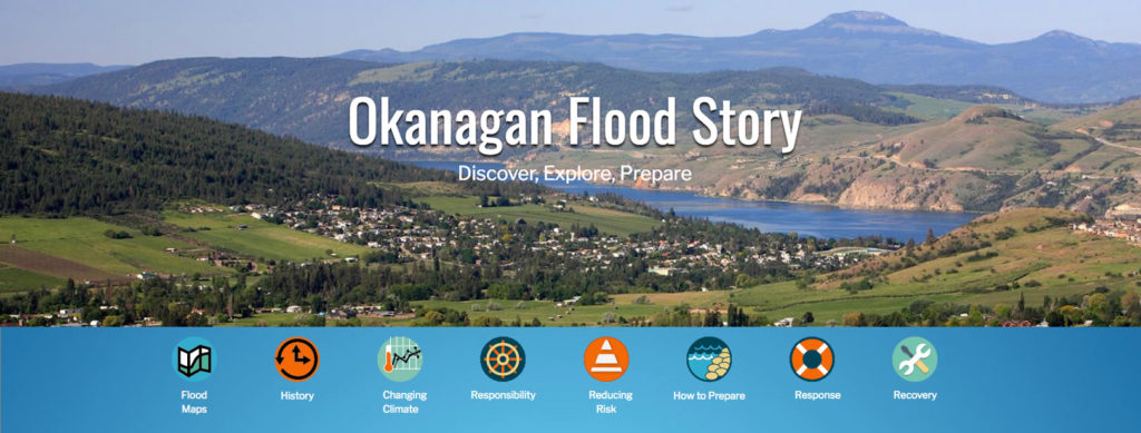
- News Release – May 6, 2020: Okanagan Water Board launches website, helping valley prepare for future flooding.
- Watch online news conference on YouTube
Provincial Resources:
- B.C. Flood Strategy
- Get Prepared for a Flood in BC
- BC Integrated Flood Hazard Management
- Prepared BC
OBWB Resources:
- Okanagan Water Supply Webinar – May 9, 2023
- 2020 Raven Hydrology Model Workshop
- Drought Info & Updates
- For Agricultural Water Users
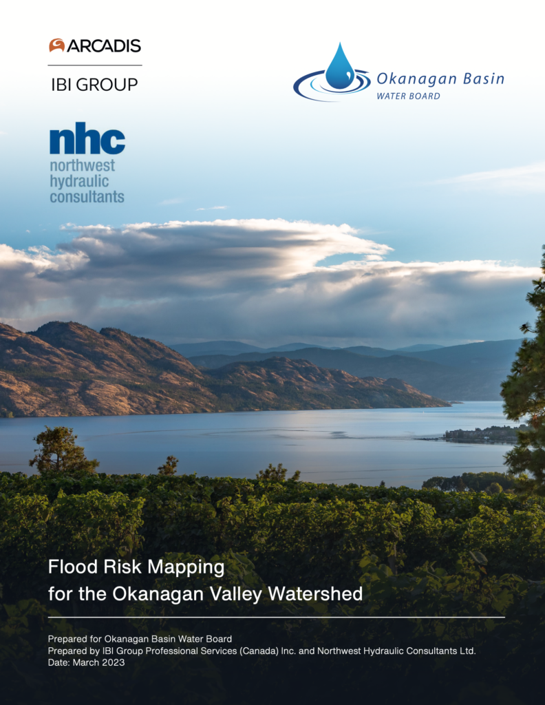
Flood Risk Mapping for the Okanagan Valley Watershed:
This report presents recent flood events (probabilities) and scenarios studies, including current and future lake management operations, wave effects, and a potential breach of flood control structures.
OBWB and partners had recently invested in critical data and detailed flood studies, including new LiDAR data and hydraulic modelling and mapping (NHC 2020).
This study leverages these investments in hazard modelling and improves our understanding of Okanagan flood risk.
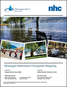
Okanagan Mainstem Floodplain Mapping:
- Download Report:
- High Resolution (570Mb PDF)
- Low Resolution (20Mb PDF)
- Download Report by Chapter (High Resolution):
- Download Maps:
- Index Map
- High Resolution & Low Resolution Maps
- All Maps (CAUTION – LARGE FILE: 1.4Gb PDF)
- Download Additional Files:
Reports:
- Technical Data Report – Okanagan Lakes Lidar Project (4Mb PDF)
- Analysis of Flood Resilience Policy and Planning Tools in the Okanagan Valley (PDF)
- Bathymetry Survey (Cross Sections) of Okanagan River (1.8Mb PDF)
- Okanagan Hydrologic Models for Long-term Water Planning & Management (51Mb PDF)
- 2017 Flood Response Review of Okanagan Lake Regulation System and Nicola Dam (16Mb PDF)
North Okanagan
- City of Vernon Flood Resilience & Mapping website
- City of Armstrong Flood Mapping and Risk Assessment Report (91Mb PDF)
Central Okanagan
- Central Okanagan Flood Mitigation Strategy website
- Mission Creek Flood and Hazard Mapping and Dike Breach Analysis (65Mb PDF)
- Mill Creek Flood and Hazard Mapping (80Mb PDF)
- Peachland & Trepanier Creeks Flood Mapping (2.7Mb PDF)
In the News:
- UBCO and Okanagan water board team up to address flood mitigation ideas – May 2020
- Okanagan Basin Water Board releases online flood-mapping tool – Global News May 2020
- What’s your flood risk? – Castanet May 2020
- Big bucks for flood maps – Castanet April 2018
- Aerial images lost in crash – Castanet October 2018
Articles:
Local Government Links:
North Okanagan
- City of Vernon:
- District of Coldstream
- Township of Spallumcheen
- City of Armstrong
- Village of Lumby
- RDNO
Central Okanagan
South Okanagan – Similkameen

